Log in
All resources
Create a design
11,660 Free Images of Old Map
fonds ancely - bibliothèque municipale de toulouse - maps
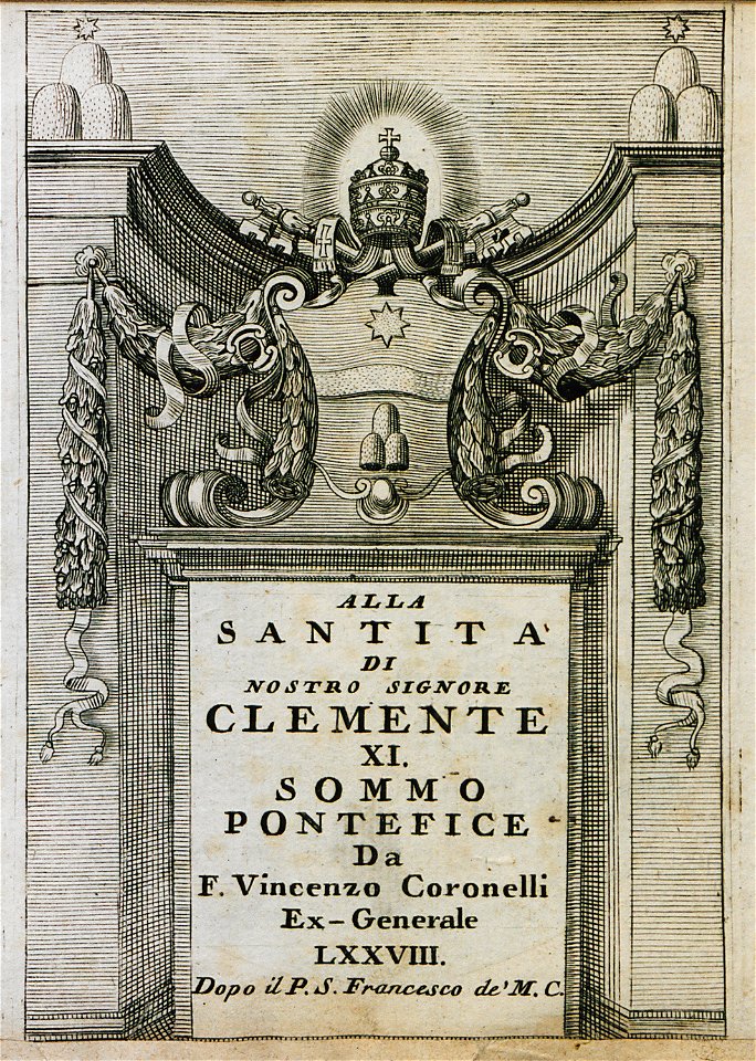
geographical illustrations by coronelli
maps made in the 17th century
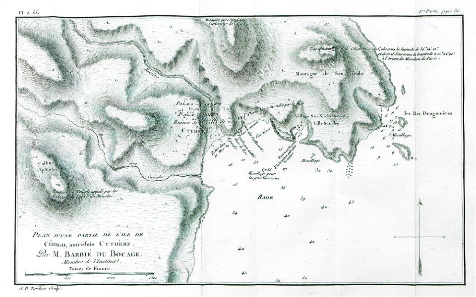
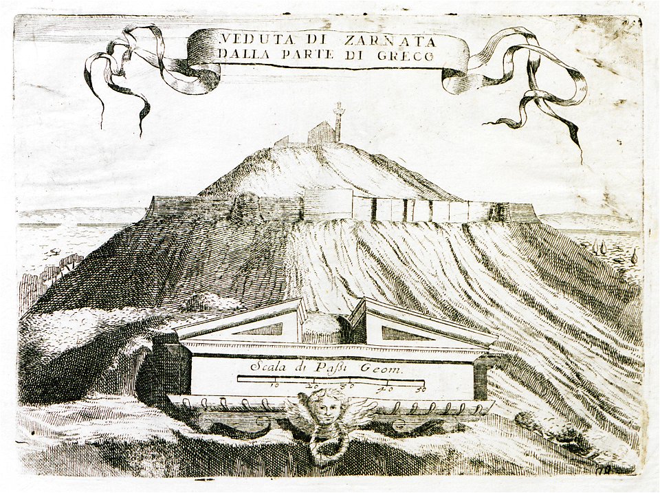
old maps of the peloponnese
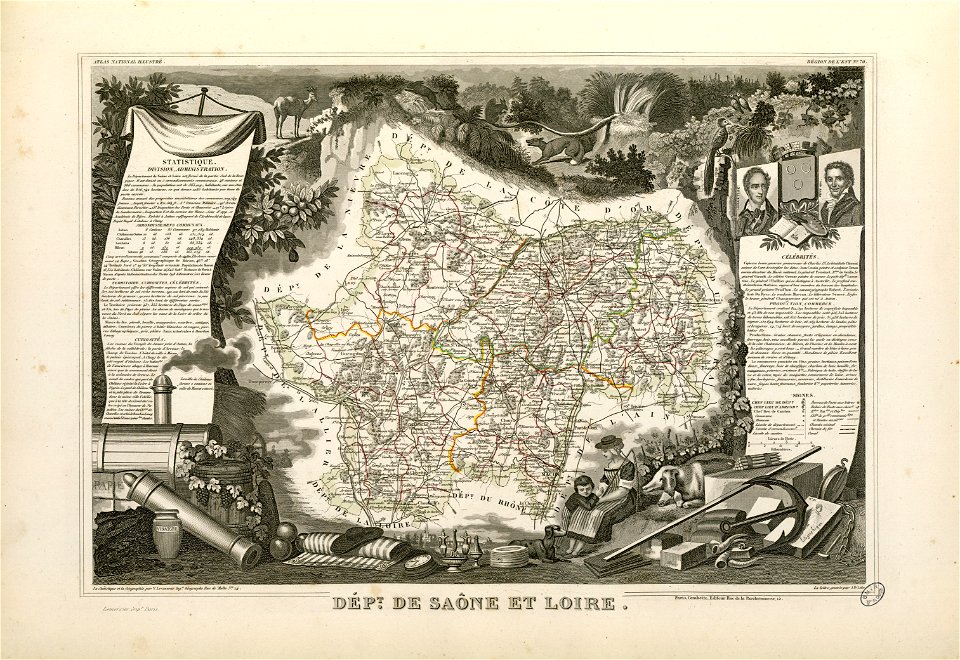
victor levasseur - maps of france
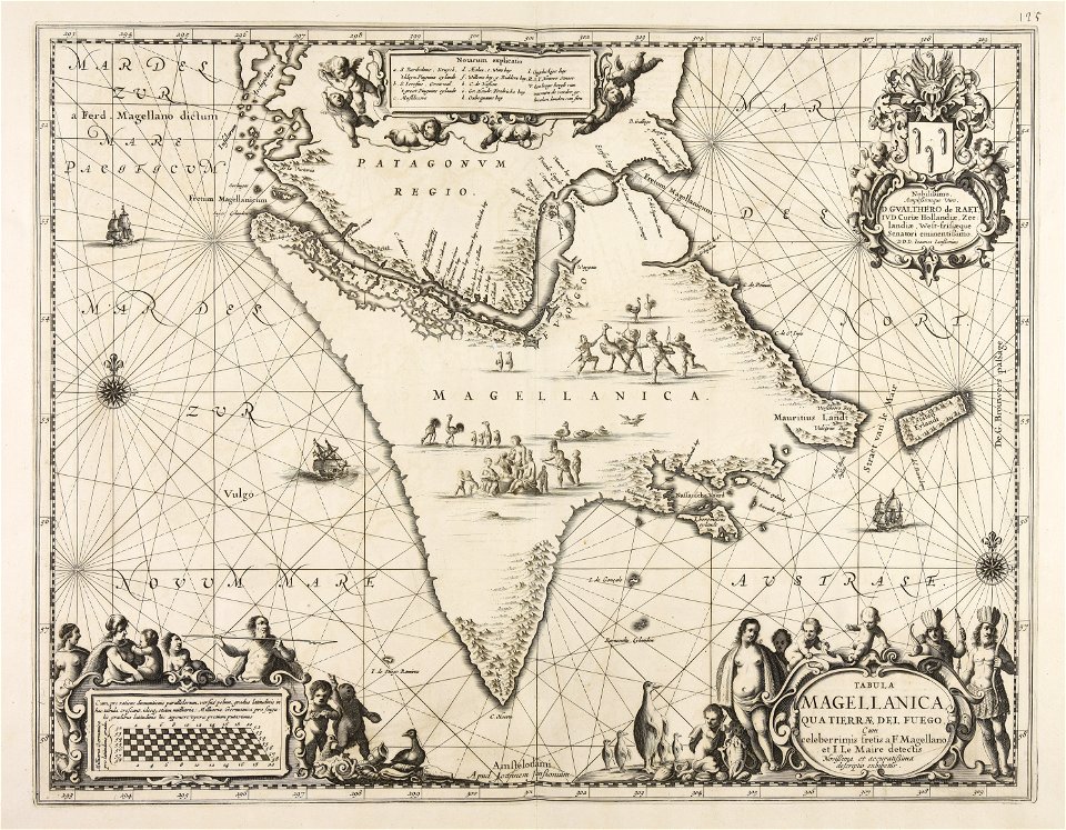
atlantis magni tomus secundus (biblioteca comunale di trento)
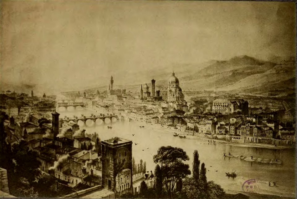
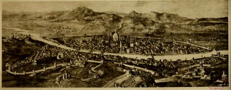
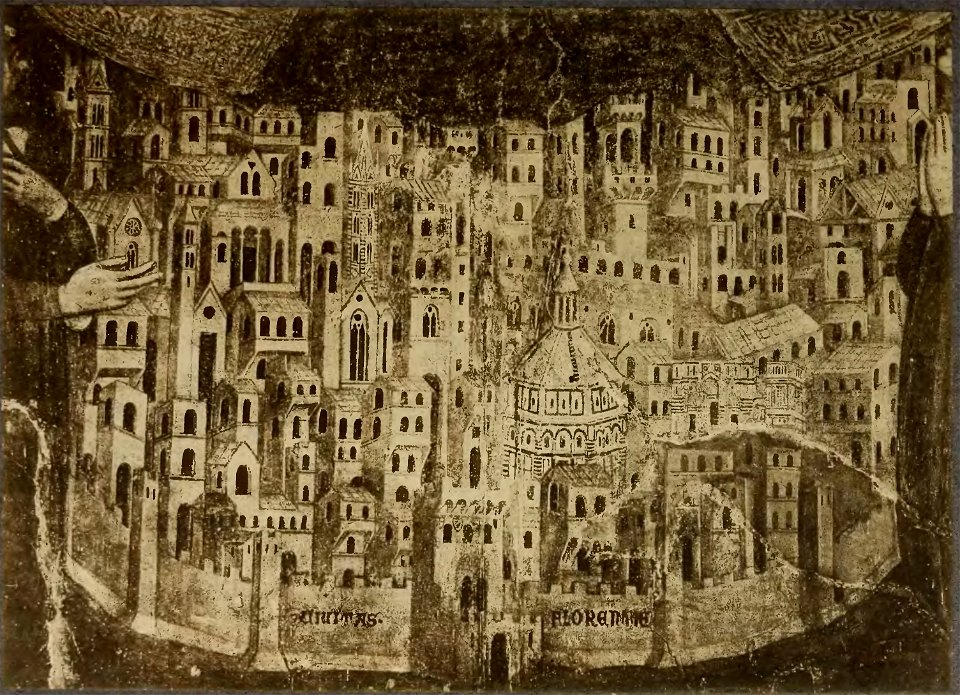
old maps of florence
cento vedute di firenze antica
maps made in the 18th century
atlas de wit 1698
fonds ancely - bibliothèque municipale de toulouse - maps
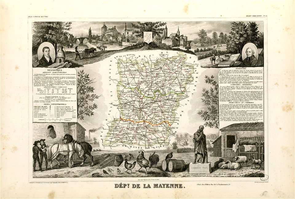
coats of arms of cities in mayenne
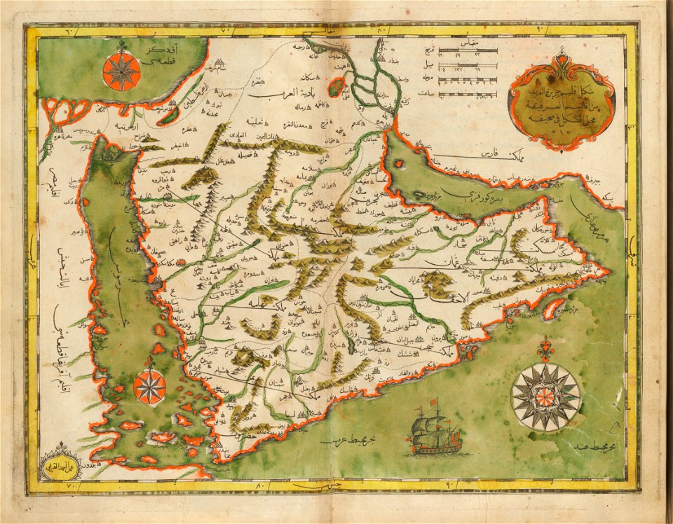
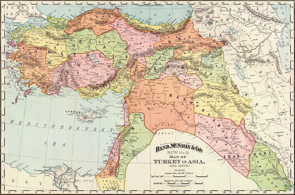
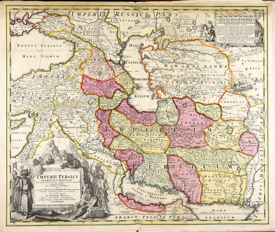
old maps of the middle east
harvard university
maps with cartouches
atlas van der hagen
jan huygen van linschoten
1596 maps
fonds ancely - bibliothèque municipale de toulouse - maps
joseph-bernard abadie
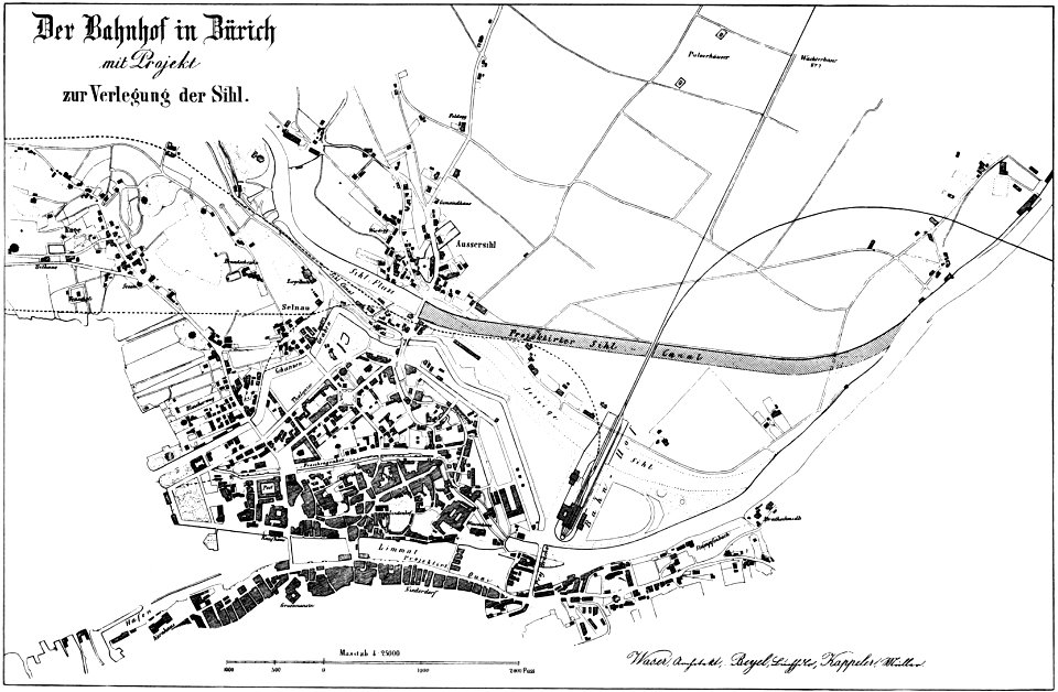
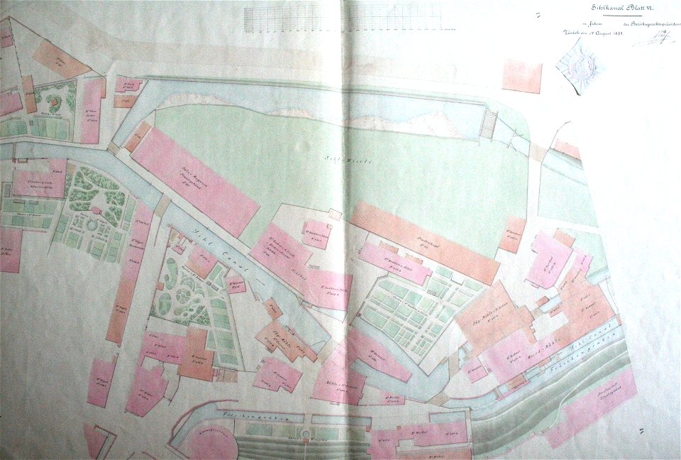
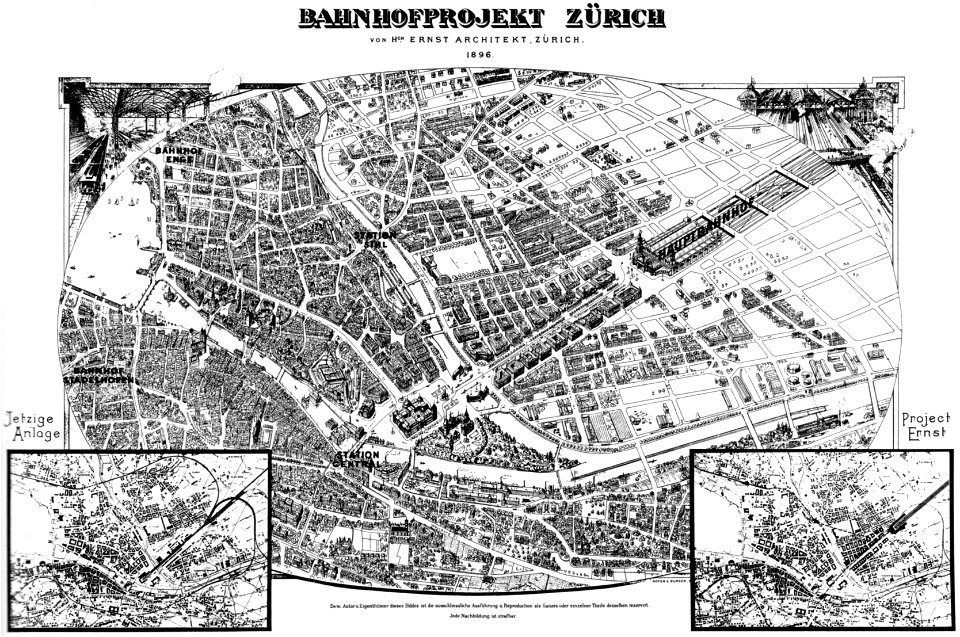
history of rail transport in switzerland
aussersihl
prints from bonne atlas de toutes les parties at the peace palace library
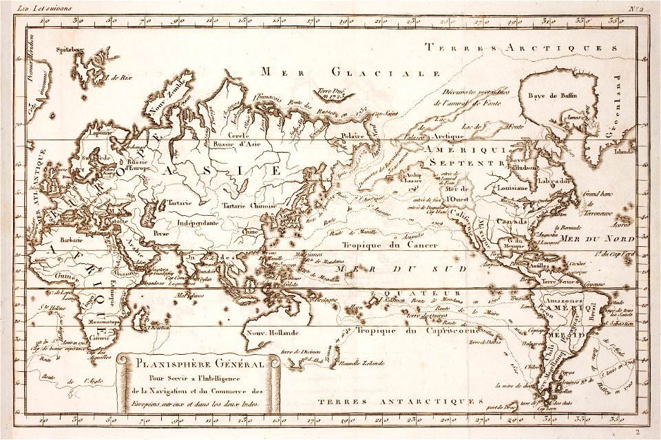
world map
maps made in the 17th century
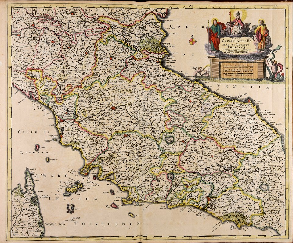
old maps of italy
historical images of the ionian islands
avlemonas
fonds ancely - bibliothèque municipale de toulouse - maps
frédéric-auguste laguillermie
fonds ancely - bibliothèque municipale de toulouse - maps
robert batty (artist)
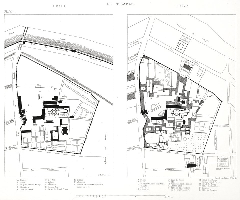
lithographs of paris
floor plans of paris
fonds ancely - bibliothèque municipale de toulouse - maps
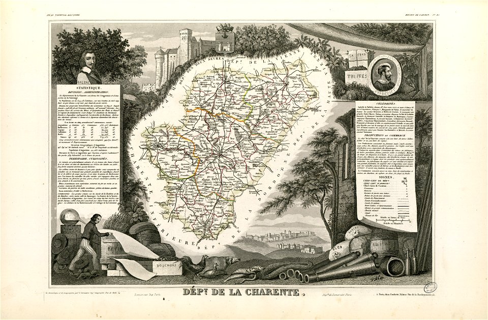
coats of arms of cities in charente
old maps of salzburg (state)
johann baptist homann
maps made in the 18th century
johann baptist homann
atlantis magni tomus secundus (biblioteca comunale di trento)
maps made in the 17th century
maps of antwerp city walls
old maps of antwerp
maps made in the 17th century
nicolaes visscher ii
old administrative maps of the ottoman empire
rand mcnally
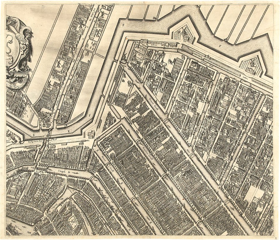
prinsengracht
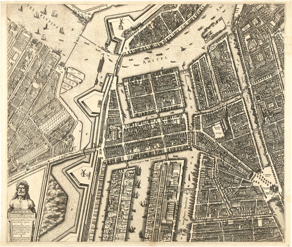
amsterdam
oudeschans
amsterdam
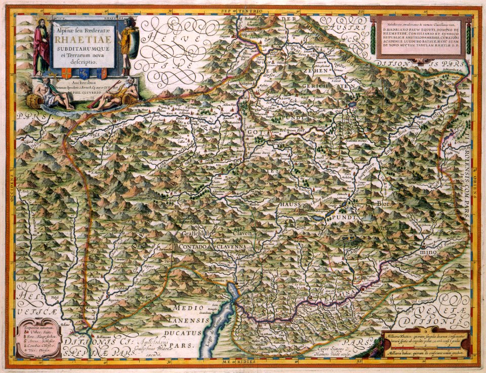
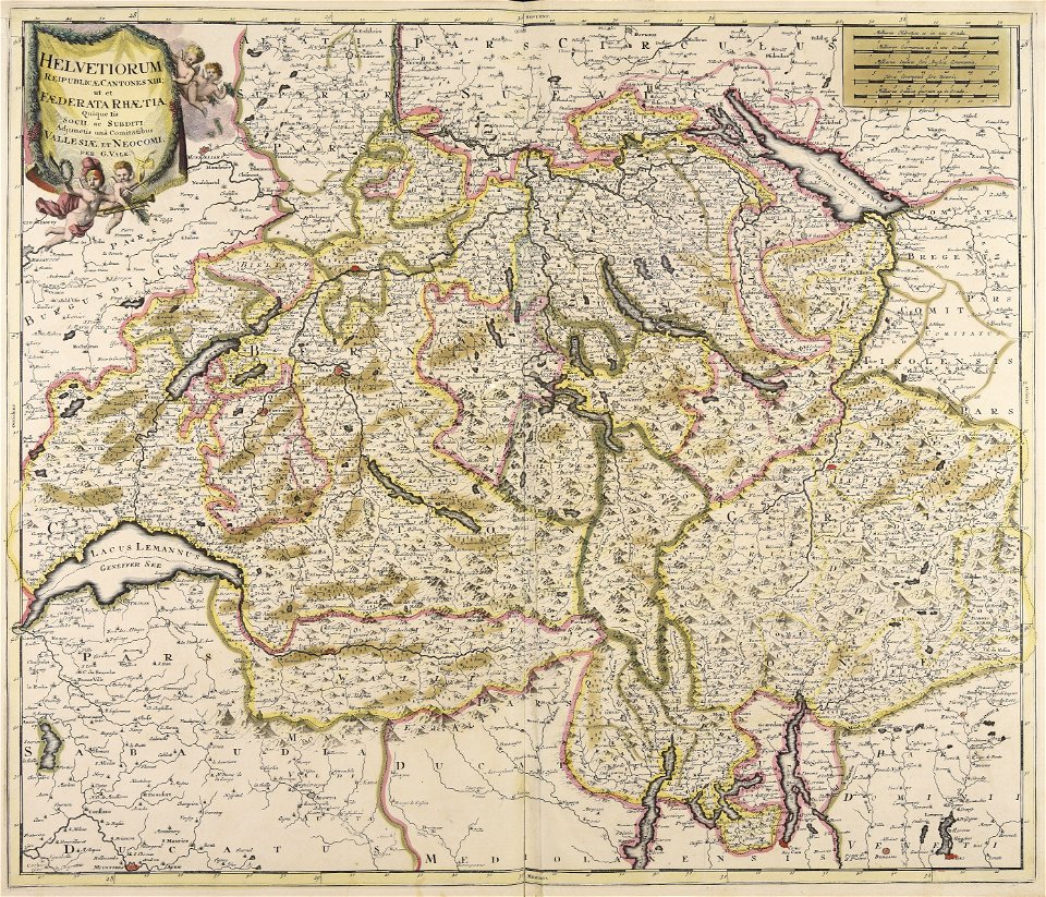
old maps of switzerland
maps with cartouches
maps made in the 18th century
johann baptist homann
symbol
maps
hatched coats of arms
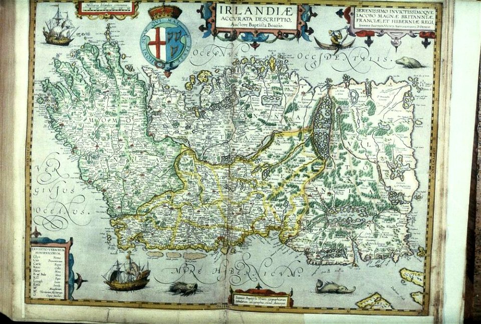
old maps of ireland
maps made in the 17th century
gerard valck
fonds ancely - bibliothèque municipale de toulouse - maps
old maps of côtes-d'armor
old maps of zürich
zürich
geographical illustrations by coronelli
old maps of the peloponnese
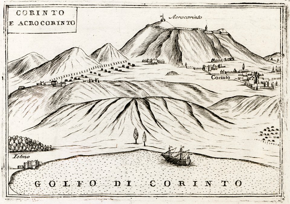
geographical illustrations by coronelli
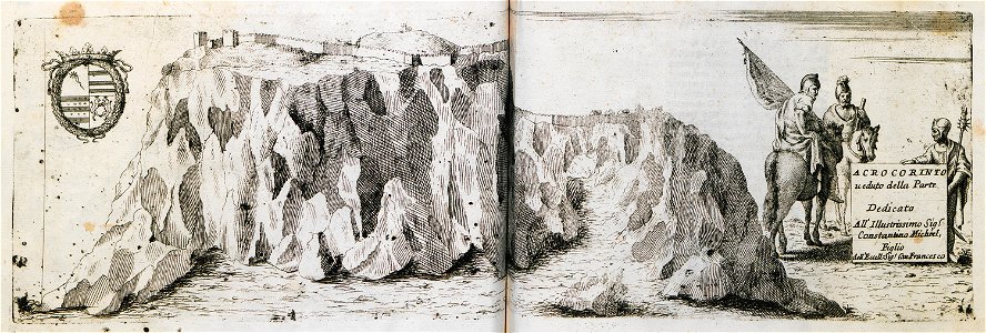
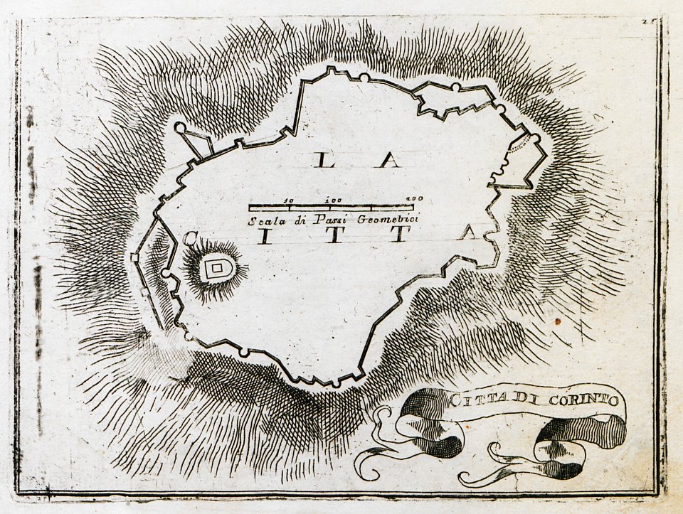
remote views of acrocorinth
geographical illustrations by coronelli
remote views of acrocorinth
cento vedute di firenze antica
old maps of florence
old maps of baden-württemberg
1552
geographical illustrations by coronelli
old maps of the peloponnese
ukiyo-e by unknown artists
nagasaki-e
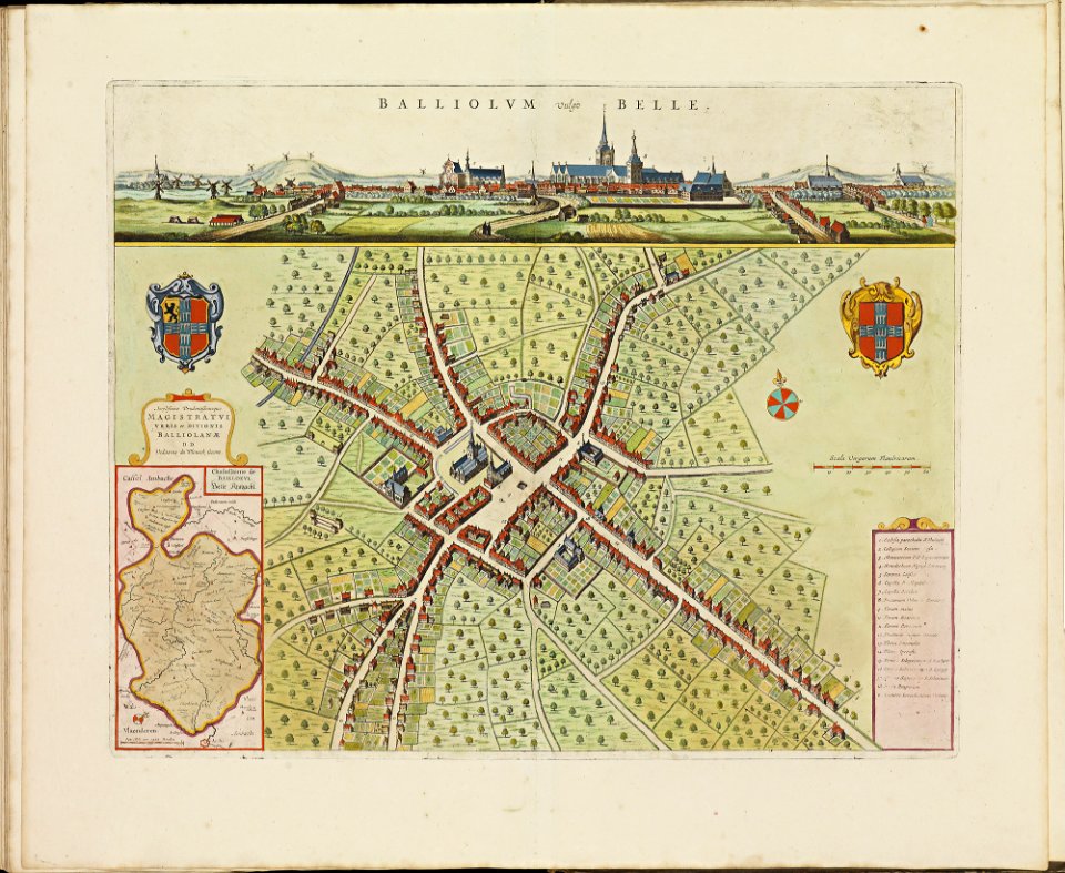
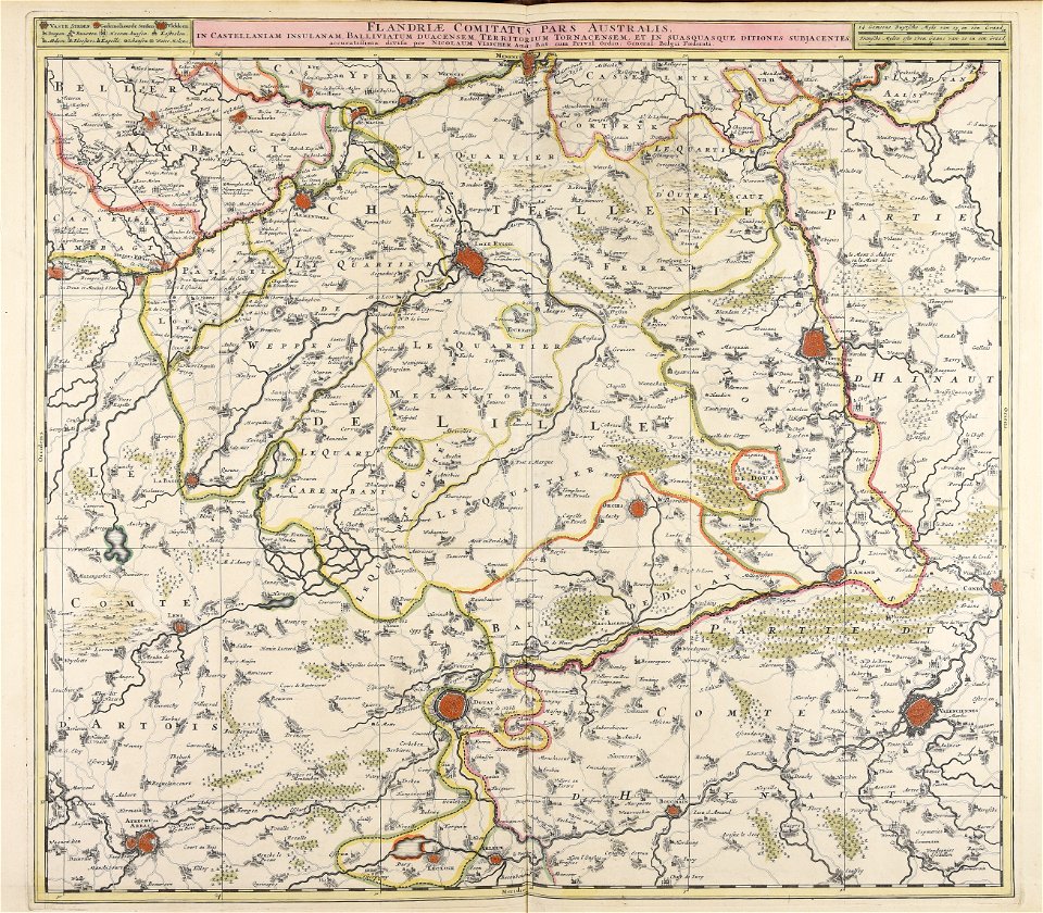
old maps of bailleul (nord)
atlas de wit 1698
spanjaardenkasteel
atlas de wit 1698
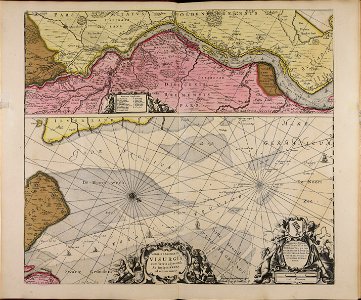
old maps of bourbourg
atlas de wit 1698
atlas de wit 1698
netherlands
maps by frederick de wit
copper engraving
prints from manesson travaux de mars at the peace palace library
old maps of toul
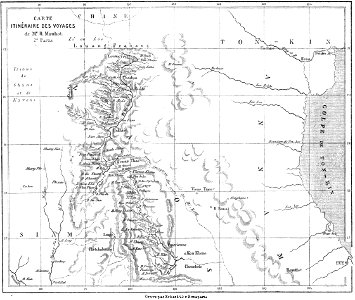
volume 1 of le tour du monde
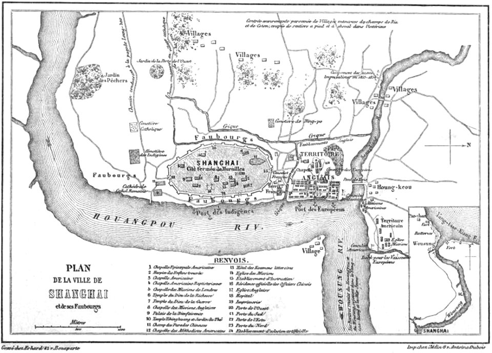
old maps of shanghai
maps
book
maps made in the 17th century
jan janssonius
maps made in the 17th century
nicolaes visscher ii
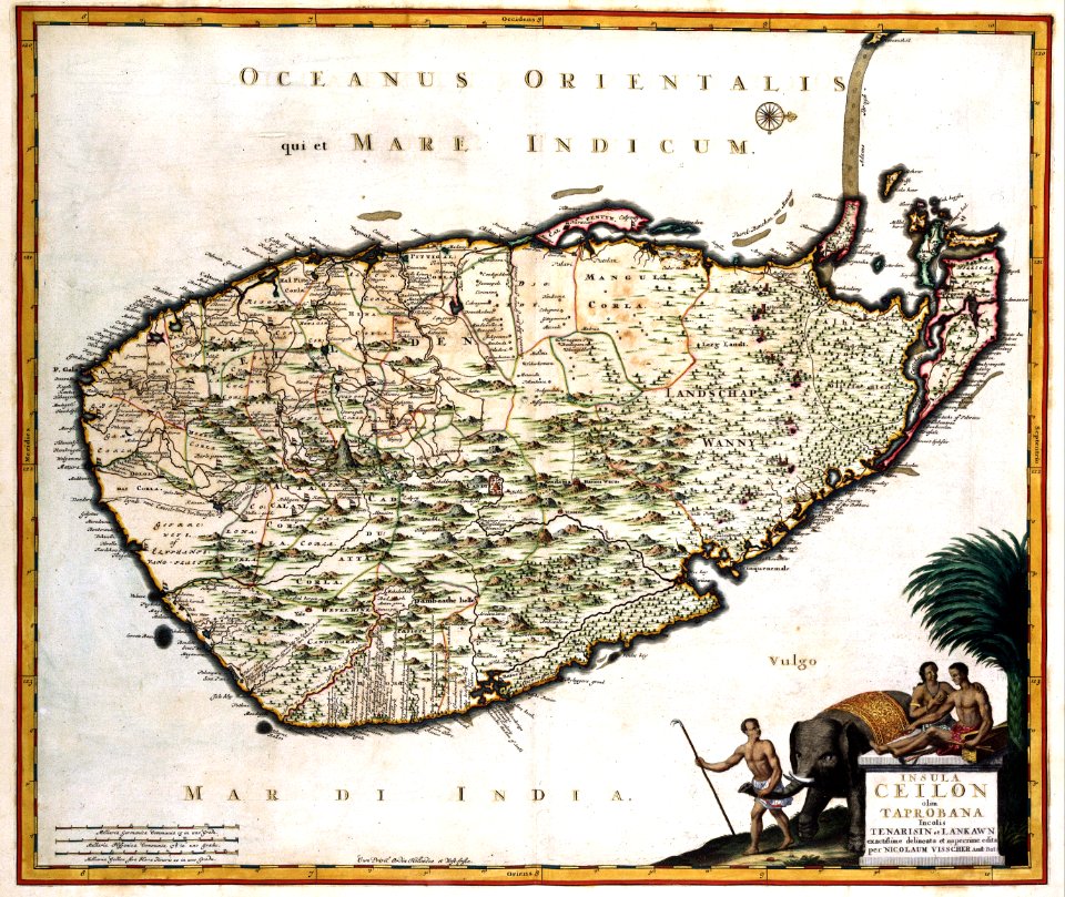
old maps of sri lanka
maps with cartouches
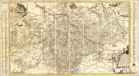
old maps of saxony
1760 maps
maps made in the 17th century
nicolaes visscher ii
maps made in the 17th century
nicolaes visscher ii
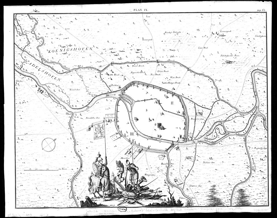
collections de la bibliothèque nationale et universitaire de strasbourg
old maps of territories in the upper rhenish circle
maps made in the 18th century
gerard valck
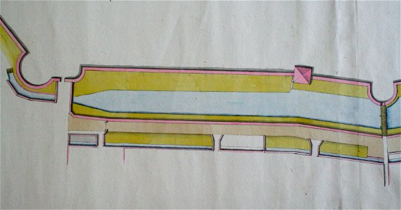
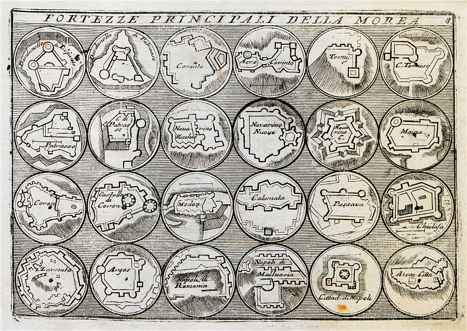
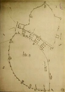
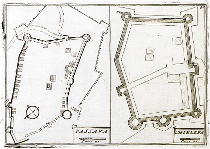
17th-century fortress plans
military trenches
drie aanmerkelyke reizen
old maps of ayutthaya
werdmühle (zürich)
zürich
engravings by jan luyken
1696
engravings of topographia saxoniae inferioris
old maps of bremen (state)
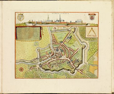
old maps of armentières
atlas de wit 1698
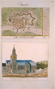
grote of lebuïnuskerk
old maps of deventer
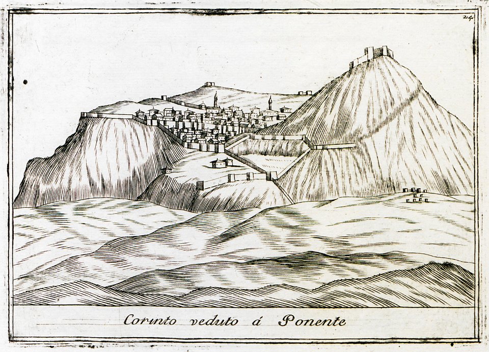
geographical illustrations by coronelli
antirrio
geographical illustrations by coronelli
acrocorinth in art
volume 4 of le tour du monde
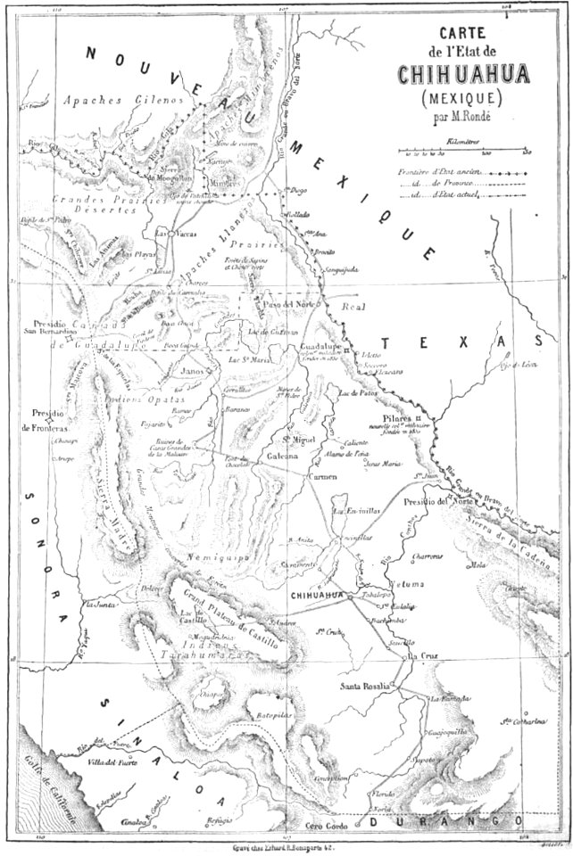
old maps of mexico
west-indische compagnie
gerard van keulen
old maps of havana
1866
files from the bodleian libraries
old maps of ireland
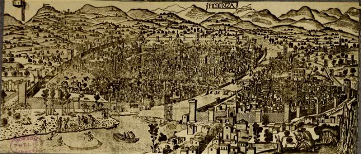
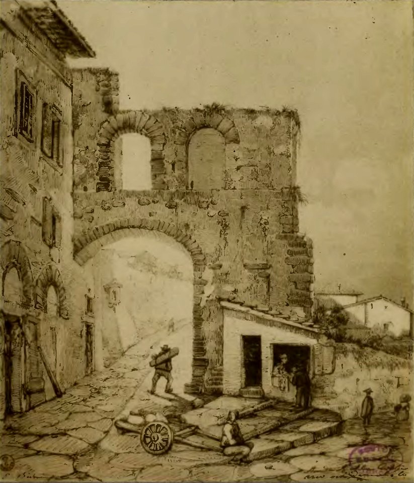
cento vedute di firenze antica
old maps of florence
cento vedute di firenze antica
old maps of florence
cento vedute di firenze antica
old maps of florence
johann christoph brotze
old maps of riga
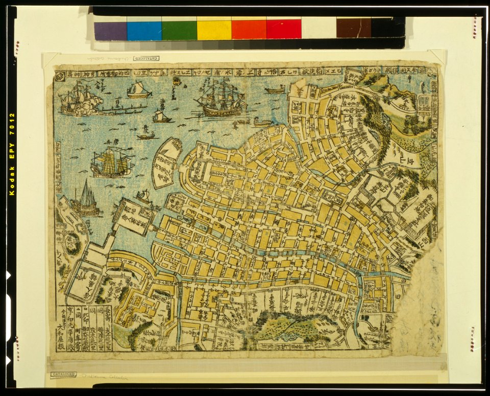
ukiyo-e by unknown artists
nagasaki-e
maps made in the 18th century
gerard valck
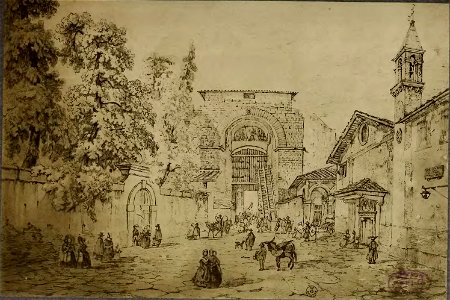
architectural prints by wenzel hollar
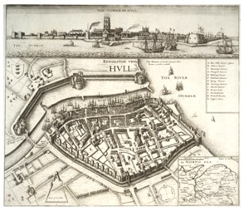
fortifications of kingston upon hull
voyage pittoresque de la grèce
i̇zmir in the 18th century
history of rail transport in switzerland
aussersihl
maps made in the 17th century
old maps of gelderland
coats of arms of cities in haute-marne
charles-guillaume étienne
coats of arms of chalon-sur-saône
alphonse de lamartine
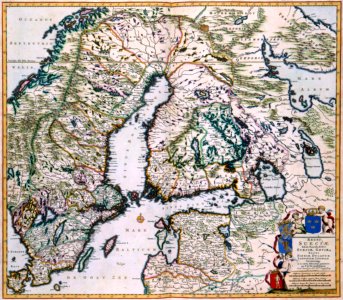
old maps of scandinavia
maps with cartouches
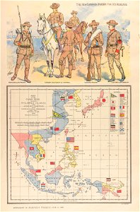
philippine sea
1898
geographical illustrations by coronelli
old maps of the peloponnese
collection de la bibliothèque municipale de reims
old maps of aube
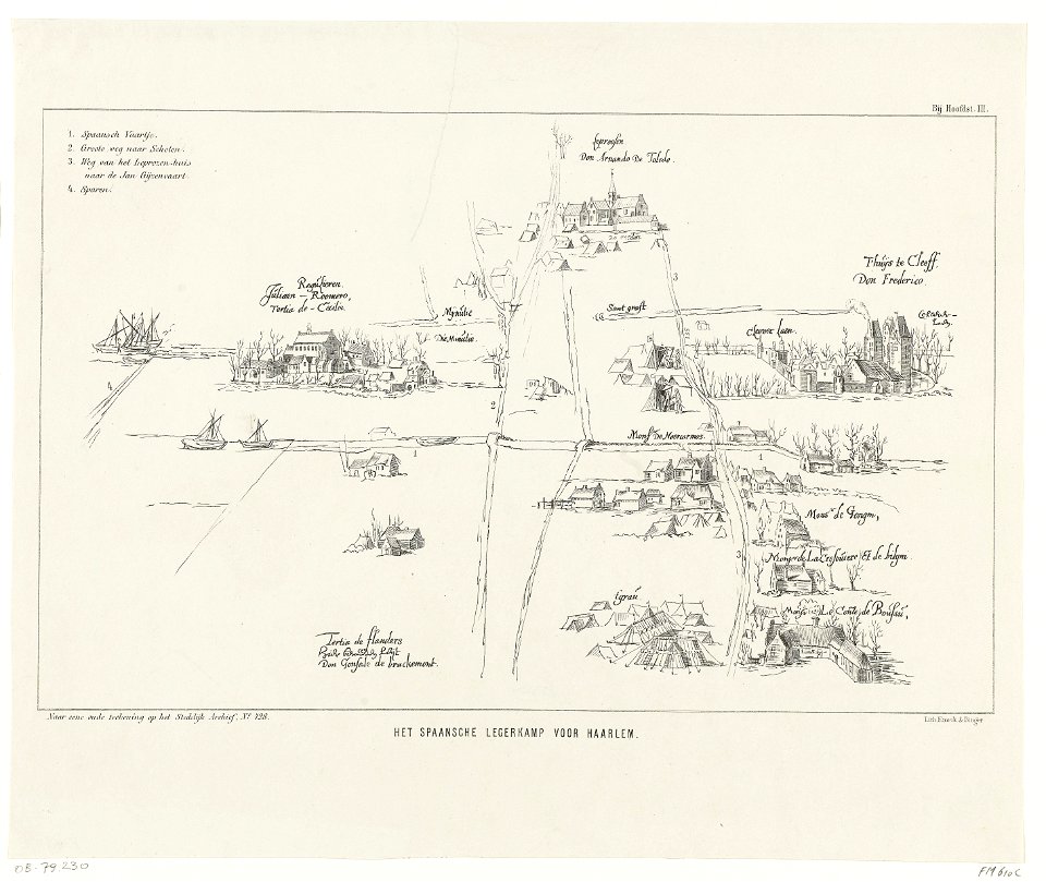
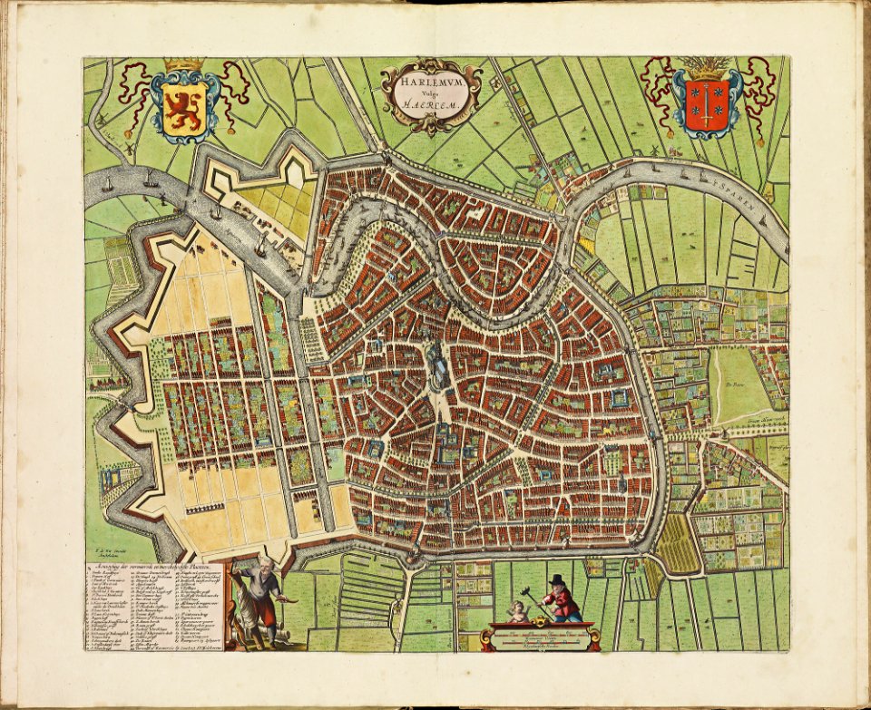
history of haarlem
huis ter kleef
old maps of gibraltar
history of gibraltar
geographical illustrations by coronelli
old maps of the peloponnese
old maps of haarlem
atlas de wit 1698
volume 8 of le tour du monde
old maps of thailand
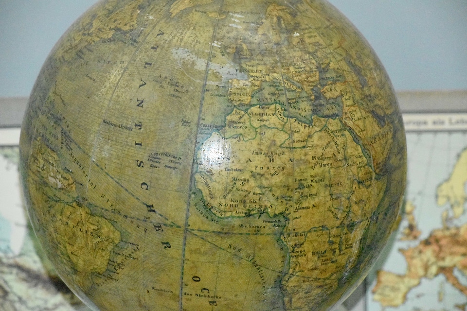
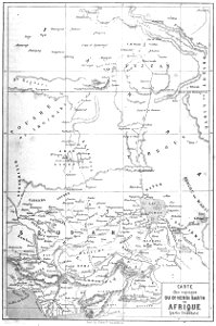
old maps of africa
heinrich barth
prints from manesson travaux de mars at the peace palace library
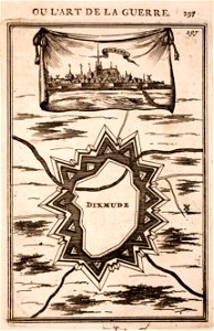
old maps of diksmuide
old maps of switzerland
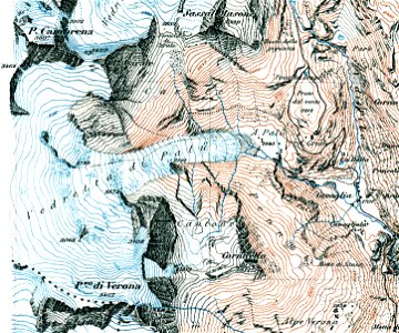
piz varuna
cento vedute di firenze antica
old maps of florence
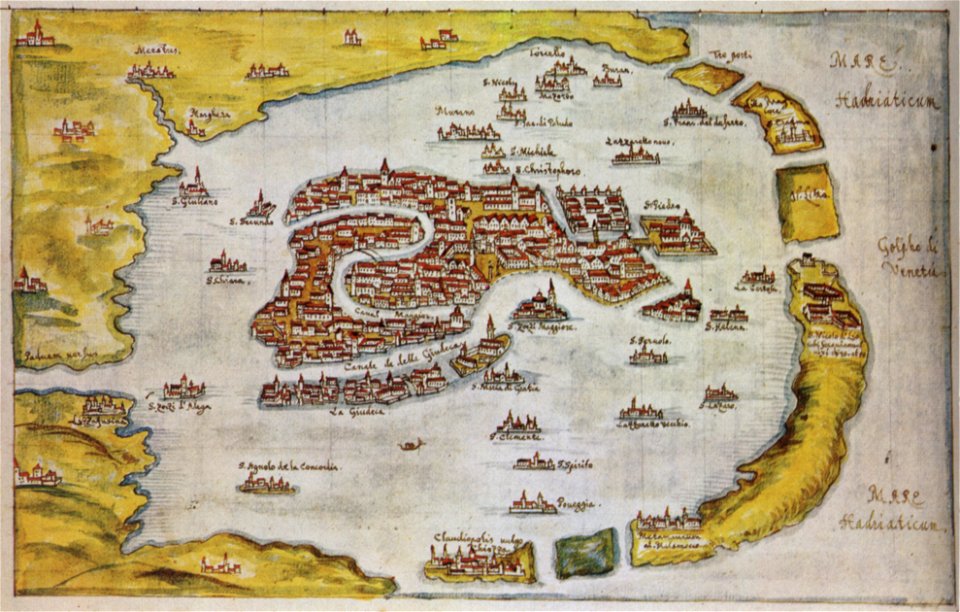
old maps of venice
gabriel bucelin
cento vedute di firenze antica
old maps of florence
cento vedute di firenze antica
old maps of florence
collections de la bibliothèque nationale et universitaire de strasbourg
old maps of alsace
geographical illustrations by coronelli
old maps of the peloponnese
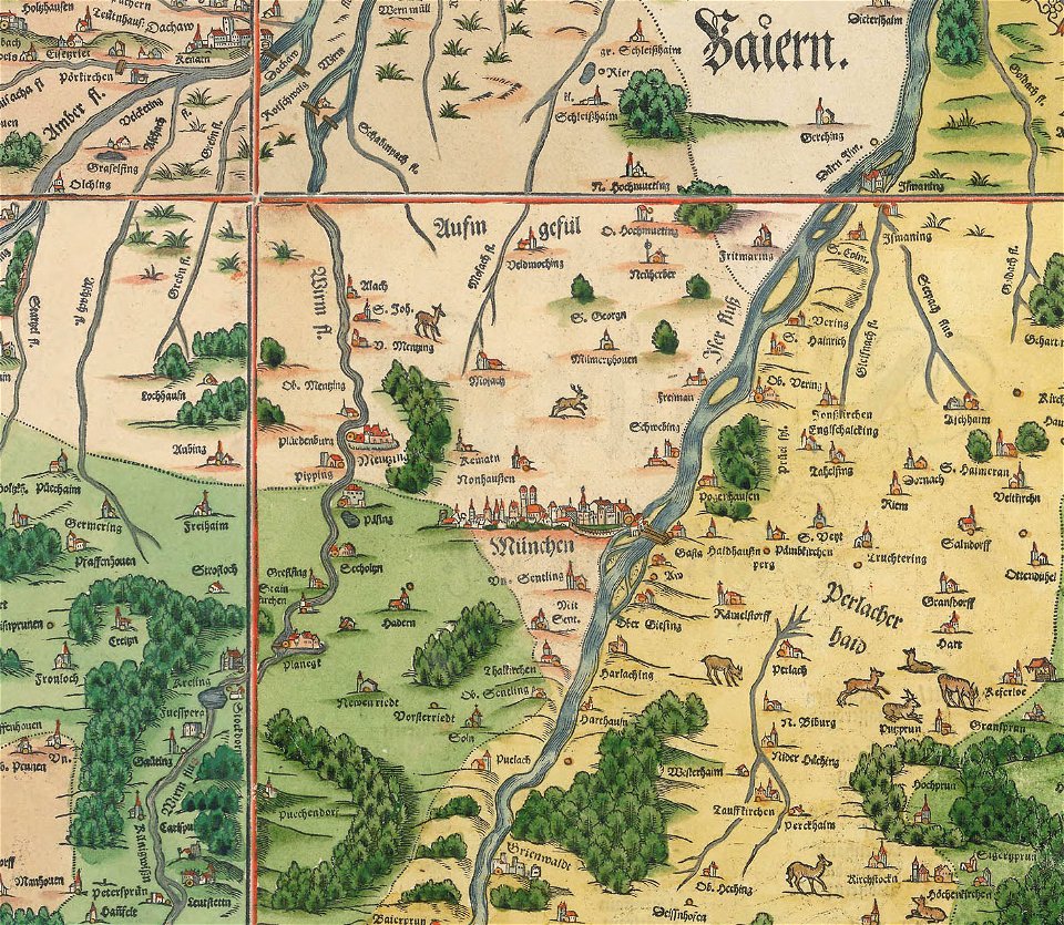
snippets of philipp apian's bairische landtafeln
old maps of boroughs in munich
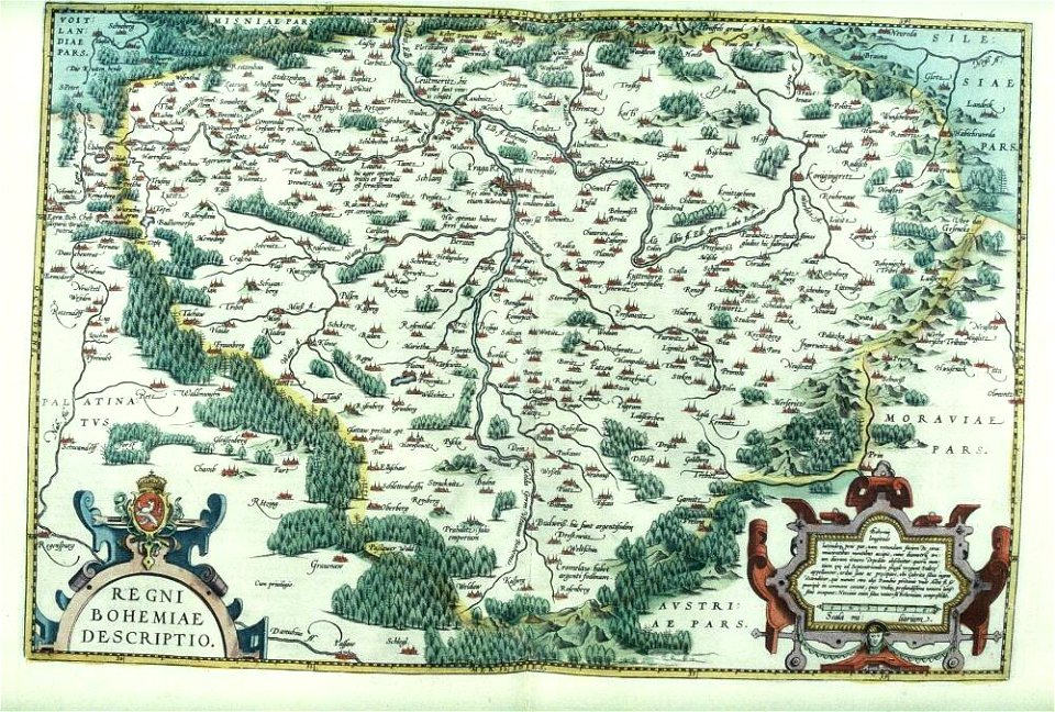
files from the bodleian libraries
old maps of bohemia
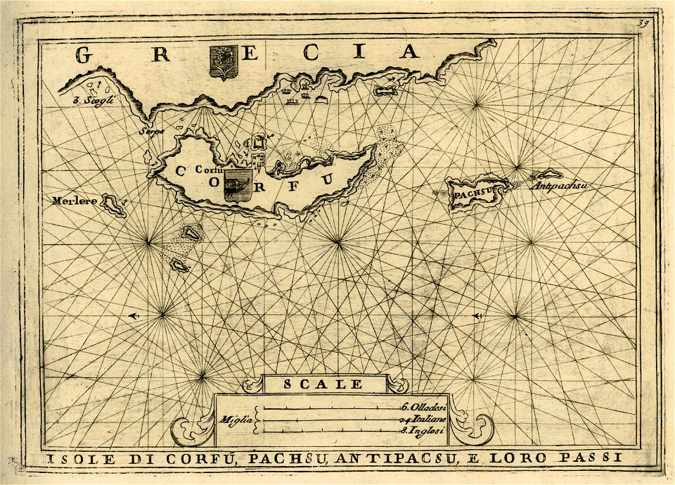
geographical illustrations by coronelli
old maps of corfu
caricatures of wilhelm ii of germany
cornell university library
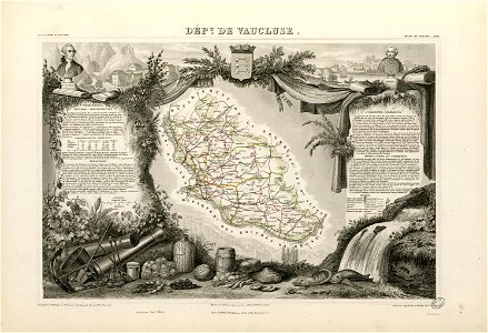
coats of arms of cities in vaucluse
works after joseph vernet
roch-ambroise cucurron sicard
frédéric-auguste laguillermie
4001 - 4100 of 11,660
Next page
/ 117